Know the Water Before You Go
Lake and river levels, trends, and flood alerts across thousands of gauges. One tap. No guesswork.
Plan smarter. Launch safer. GaugeStage puts real-time gauge data from major U.S. lakes and rivers in your hands — so you know what the water is doing before you leave the dock.
 Free to get started
- Coverage
- Thousands of Gauges
- Across major U.S. lakes, rivers and streams
- History
- 30 Days
- Pro version
- Devices
- iOS & Android
- Phone & tablet
Lake and river data built for boaters, not scientists.
Levels. Trends. Forecasts. Flood alerts. All in one fast app — across thousands of gauges on major U.S. lakes and rivers.
- Thousands of gauges — Mississippi, Missouri, Ohio, and more
- Made for boaters and anglers, not hydrologists
- Free to start — Pro unlocks everything
Live River Data
Thousands of Gauges · Multiple Rivers
Everything you need to read the lake or river
Smarter decisions on the water start here.
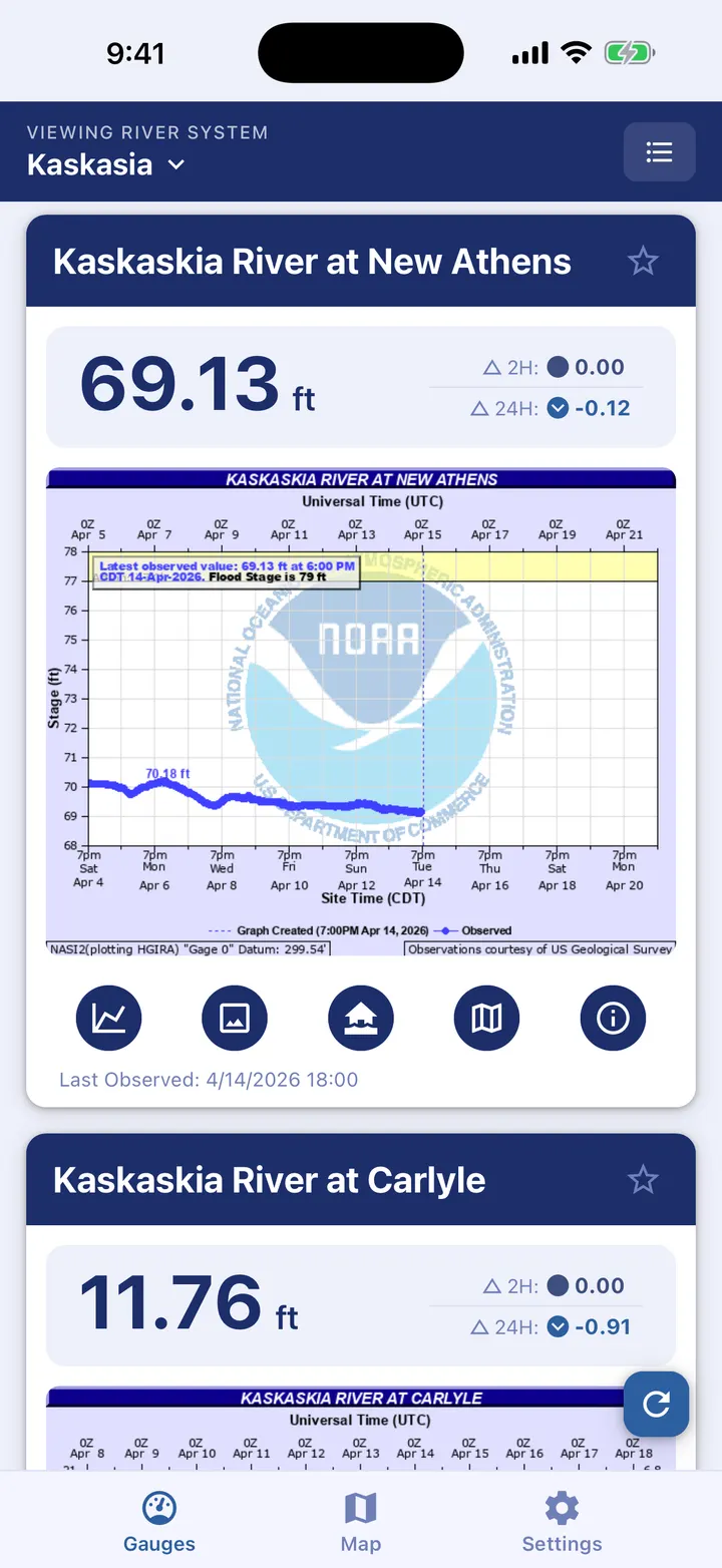
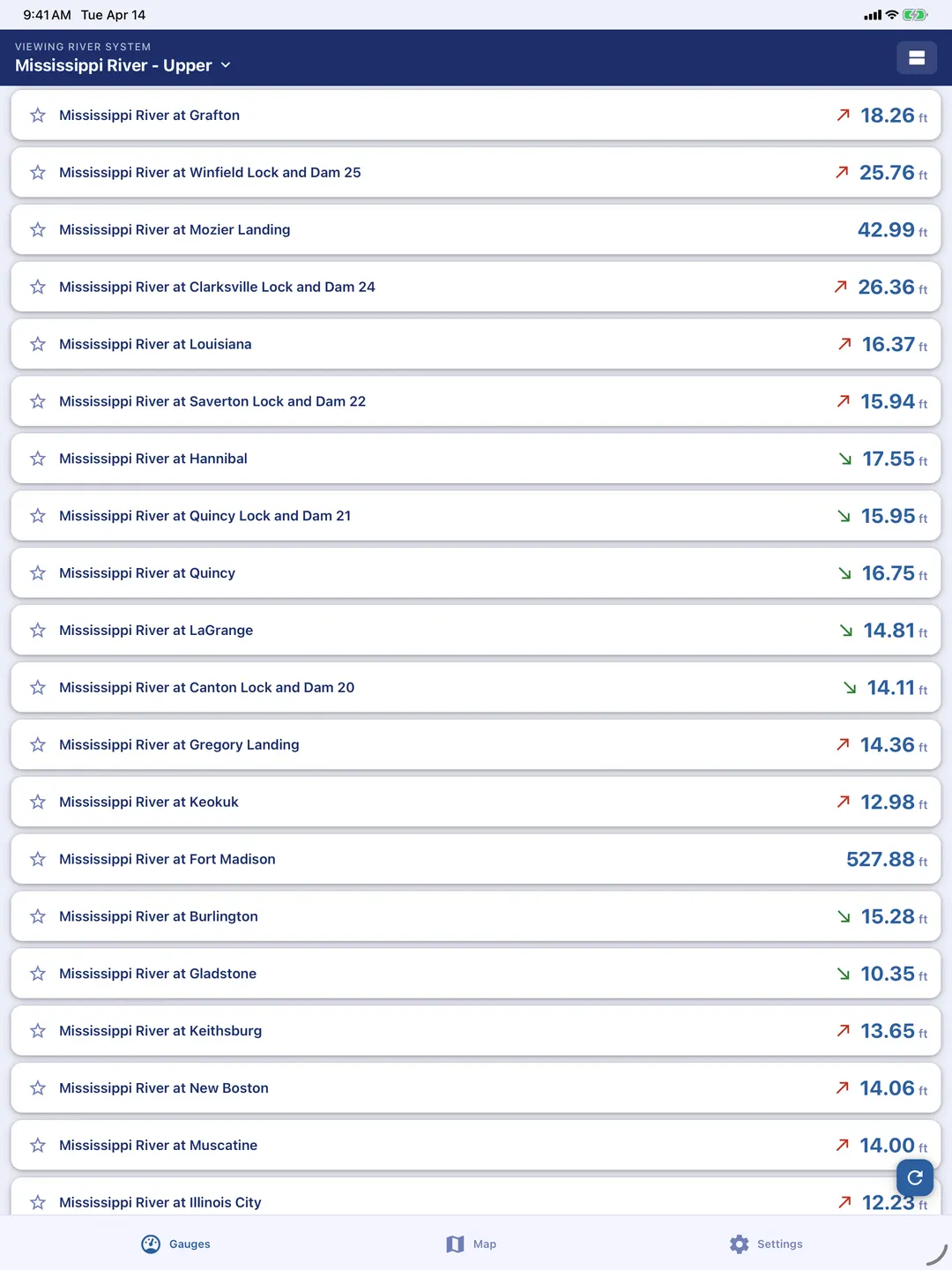
Real-Time Gauge Readings
See current levels at a glance. Thousands of gauges, updated continuously.
Interactive Hydrographs
Watch the river rise or fall over time. Pinch, zoom, and spot the trend instantly.
30-Day History
Look back up to 30 days. Spot patterns. Pick the right day to go.
Flood Warnings and Alerts
Get warned before conditions turn dangerous. Stay off the water when it matters.
Boater-Focused Design
Zero clutter. Zero jargon. Just what you need to make a go/no-go call.
Phone & Tablet Ready
Open it at the dock, at home, or on the ramp. Works on any iOS or Android device.
See GaugeStage in Action
Tap any screenshot to view full size.
Trusted by Boaters
Real reviews from real river users.
“I check it all the time, the old school graphs are great!”
John L.
River Boater
“This has really helped us know when we needed to move things from our river lot due to the rising water.”
Regina S.
River Property Owner
“Simple, fast, and actually built for boaters — not scientists.”
Mike D.
Recreational Boater
“This has replaced three different websites I used to check before heading out.”
Paul E.
Weekend Captain
Got Questions? We Have Answers.
Quick answers about coverage, data, and getting started.
1What lakes and rivers does GaugeStage cover?
From the Greatest of Great Lakes to the smallest streams, GaugeStage has you covered. Thousands of gauges — and growing.
2Where does the data come from?
Trusted public sources such as NOAA and USGS deliver accurate, up-to-date conditions you can count on.
3Is GaugeStage free?
Yes. Core features, including favorites and every gauge in The United States, are free. Pro adds additional history, advanced charts, flood impacts and forecasts.
4Does the app work offline?
Previously viewed data stays cached. For current conditions, a connection works best.
5Who is GaugeStage for?
Boaters, anglers, and property owners who want fast, reliable river awareness.
6Will more features be added?
Yes. New rivers, gauges, and tools ship regularly based on boater feedback.
7How can I provide feedback or get support?
You can reach out through the Support page linked in the footer, or email us directly at gaugestage@timbob.com.
Don't launch blind. Launch informed.
Free on iOS and Android. Thousands of gauges. Real-time data. One app.